
Uros and Taquile Islands on Lake Titicaca
We originally had planned to hike the Inca trail before Lake Titicaca however due to a last minute issue with our trail passes we ended up at Lake Titicaca first, which was actually better in that we now had two extra days to acclimate before starting the trail. We got up that morning and our ride was waiting for us in the lobby, so everything worked out after all. They took us down to the docks and we boarded our boat, and then set sail out on Lake Titicaca.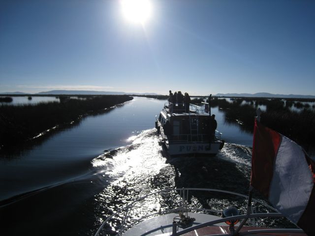
Lake Titicaca is the highest navigable lake in the world and it is split between Peru and Bolivia. Contrary to my six year old mind, the name does not mean woman’s breasts and poop, but rather translates to “Rock Puma”. We were going to visit two islands on the lake and our first stop was absolutely amazing. The Uros islands are a collection of 40 or so manmade islands from the Totora plant. The plant actually floats so that the island itself must be anchored to the lake floor. This means two things, first, as you walk around the island you actually create ripples, just as if you tossed a rock in to the water. You can actually see the wave carry through the artificial ground and it’s a weird feeling. Second, these islands are constantly sinking and every three months need a new layer to be applied. The islands themselves only last about 30 years.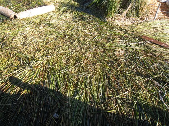
The Uros were Pre-Inca people who originally lived on the land, however once the Incas arrived they were forced to pay taxes and become slaves, so to escape and live their own life they build these islands. I guess they just never moved back to land again, even though they are only about 30 minutes by boat from the shore. A watch tower.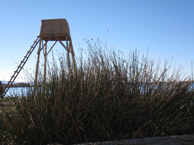
The island we visited had five families living on it, complete with kids who took a boat to a different manmade island where the school was.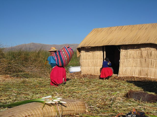
You had to be careful where you walked, otherwise your feet would get wet. This part needs a new layer.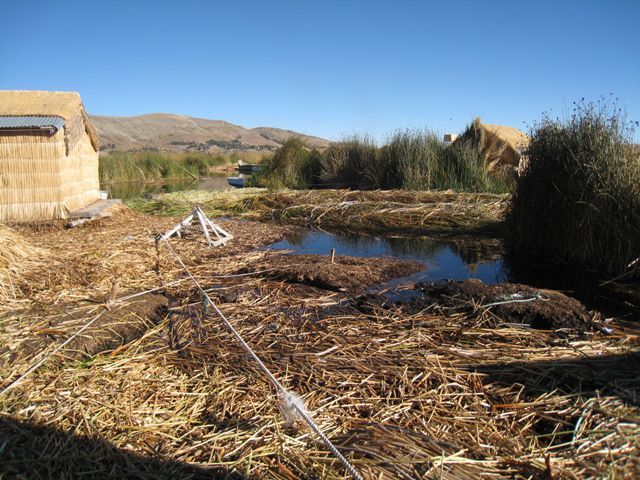
One sweet ride.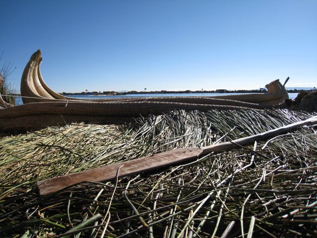
Sleeping inside the hut.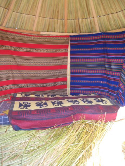
Cooking outside the hut is best to avoid fires.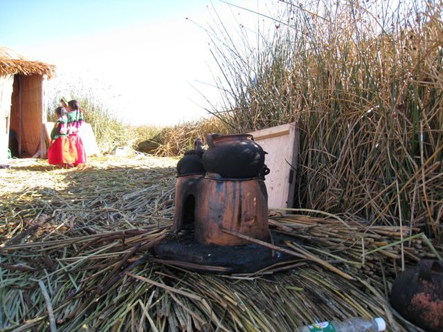
This family actually had a tv and radio in their home.
Getting power the only way they can, from the sun. Its perfect conditions here, higher altitude means you are closer to the sun and the clear skies give you a constant flow of electromagnetic radiation. It’s too bad to see the old ways corrupted with modern technology.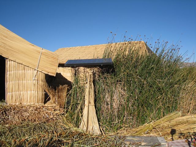
Kids playing in the fishing hole while waiting for the school boat. You can see other islands off in the distance.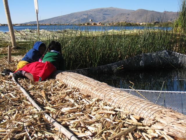
Unfortunately I did not know this before hand, but some families allow you to stay on the island over night with them. I would have loved to do that assuming I could find someone who spoke their language, which by the way is not Spanish but a dialect of Chipaya. After a while we got back on the boat and started the two and a half hour journey to Taquile Island, which was an actual island. It was really amazing to see that our boat was filled with people from all over the world. Americans really need to travel more so they can understand that it’s not just us and then everyone else but that we really are just everyone. It was also interesting to note that when talking to other Non-American travelers they all seemed to be traveling for months on end, while American travelers, mostly due to work restrictions, only traveled for two weeks. We finally saw Taquile Island off in the distance.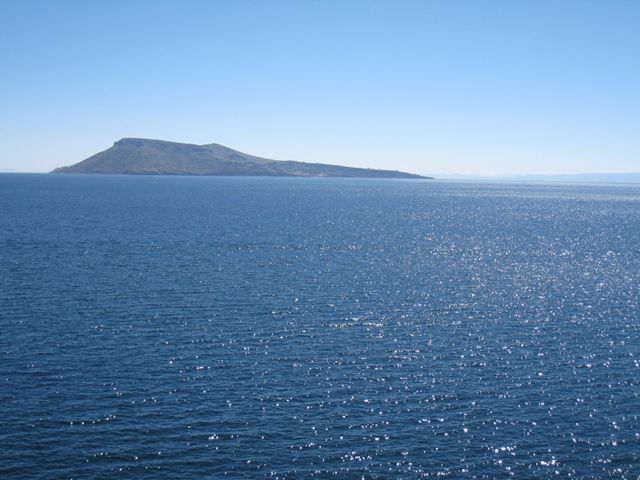
And came ashore.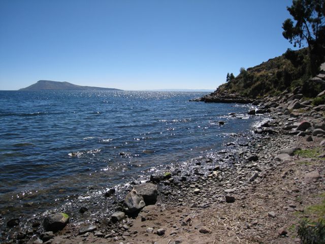
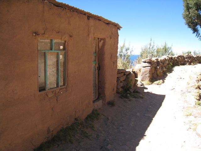
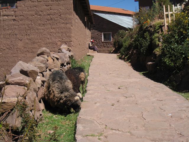
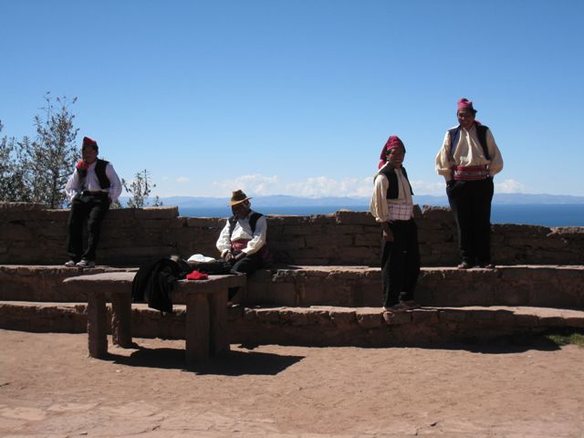
We would be hiking over this island to the other side reaching its highest point of 13,300 feet before again going all the way back down. This seemed to be the theme everyplace we went in that we were always hiking up something just to hike back down it again later. The island had about 1,500 people living on it, many of which were farmers.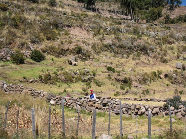
The hike was beautiful and gave you a real sense of stepping back in time. These people lived the way man was suppose to live, off the land, rather than destroying it. We heard that some of the wealthier families once brought over generators, however the rest of the island did not like the noise and forced them to replace the generators with solar panels. Not a bad idea at all.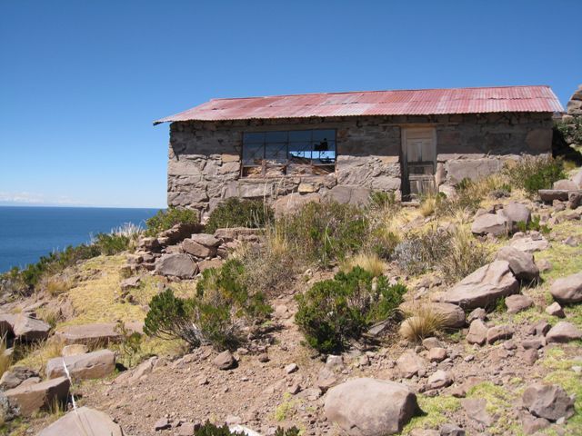
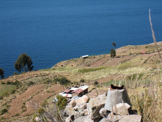
The farming terraces are somewhat vague and probably difficult to maintain in this dry weather.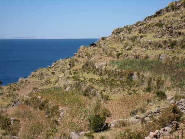
This little guy was about as real and authentic as it gets, except that he had on a Spiderman backpack.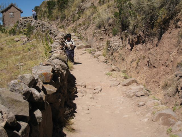
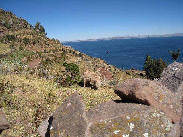
The mountain range off in the distance is actually Bolivia.
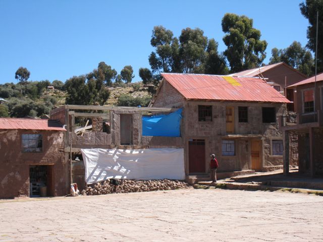
We slowly got close to the main square as we got higher and higher.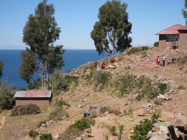
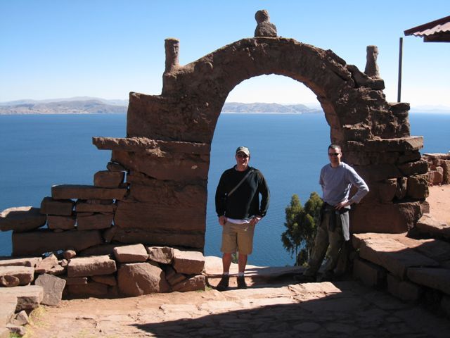
The entrance to the island’s main square, the center of its activity.
Kind of a slow day I guess.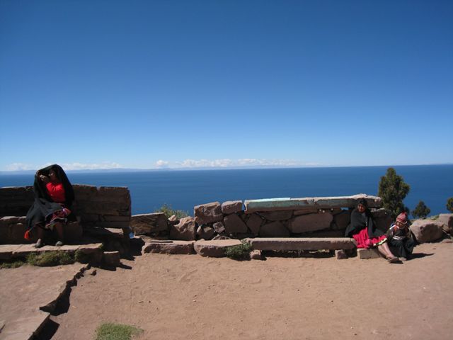
The signs tells you how to get around the island, however I had a few problems with them. First, they were faded and are hard to make out. Second, I don’t read whatever language they were written in. And Third, when a gust of wind comes along they change direction.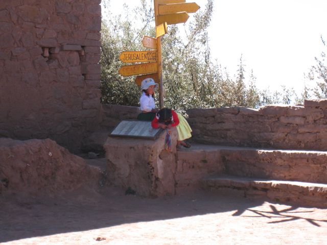
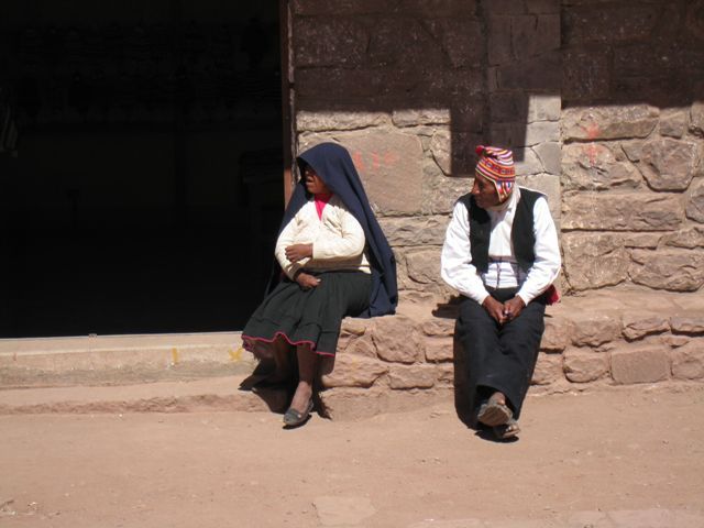
This is the one place that I don’t remember seeing any dogs, just a lot of people with leathery faces from the sun.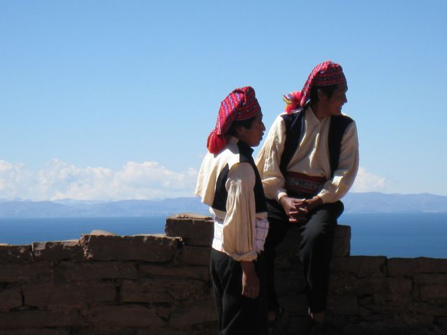
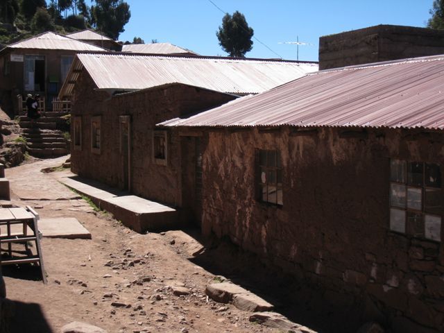
View of the main square from above. Most of these buildings were empty except for one or two merchants selling some kind of clothing.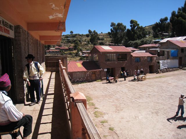
We headed down the street to find a place for lunch.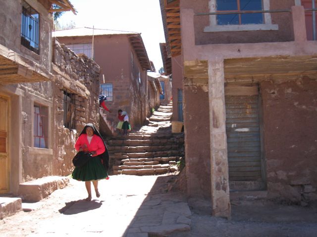
Hey look at that, two words I know, “Bar” and “Restaurant”.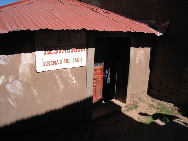
Lunch was good but I had a feeling I could be encountering some processing issues later on that day. We pressed on to reach the top of the island, passing this little guy along the way.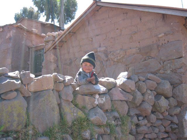
I would later find out that Jesus is big here due to the invasion of the Spanish.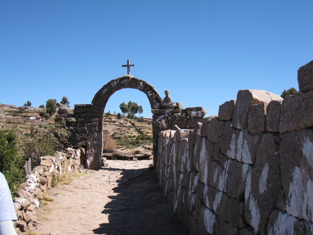
Finally, the highest point, now all we have to do is go back down again.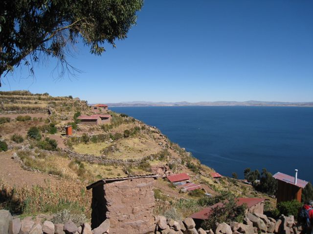
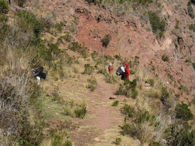
The steps were many and often steep and tricky to navigate, however this would turn out to be nothing compared to the Inca trail, and was another good reason to visit Lake Titicaca first, for the practice.
Once back on the boat we left for Puno, with the wind blowing it took us just shy of three hours. Tomorrow we would be traveling to Cusco.
VIDEO: Lake Titicaca